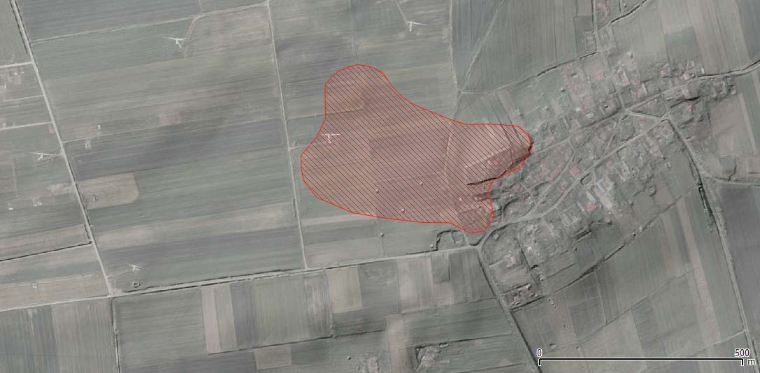
| Site name | Cisowo |
| GPS Coordinates | 54°26’49.60” N 16°25’36.00” E Coordinate System: WGS 84 Zone: 33N |
| Extension | 14 ha |
| Site description | The cluster of concentrations of archaeological materials was discovered during field-walking project in 1987. Most of material found on the surface is dated to medieval and post-medieval period which might correspond to the village and its medieval origins. |
| Threats | The small cluster of archaeological sites is on private properties. There are mostly arable fields located on a slope directed to NW. Due to the shapes of fields they are cultivated along different directions (also following the slope). The eastern part of the site is divided in private parcels, belonging to citizens of Cisowo (houses, farms, gardens). The small fields nearby might be converted into parcels for new buildings. A new wind farm has been recently built on the area. |
| Hazard assessment | Soil erosion Land use/cover change |