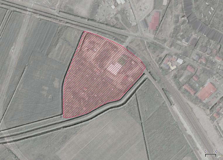
| Site name | Darłowo – monastery |
| GPS Coordinates | 54°25’13” N 16°23’51.50” E Coordinate System: WGS 84 Zone: 33N |
| Extension | 3,7 ha |
| Site description | The medieval monastery was built NW of Darłowo town on the marshy area bottom of valley of Wieprza river. The area is flooded due to the high level of Wieprza river but also backwater (when water from the Baltic Sea is pushed by strong North wind). The monastery was erected in 1394 and first monks arrived in 1407. The monastery existed until 1538 when, due to the Reformation, was closed down. The monks lived in the monastery until ca. 1560. Shortly after the 30-years’ war the church was dismantled and building material was used by Darłowo habitants. The ruins were visible in the first half of 19th century. |
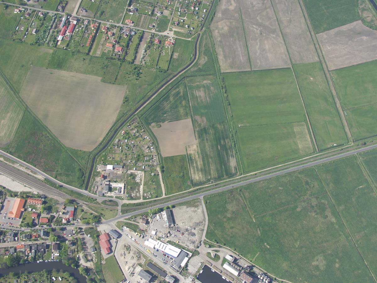
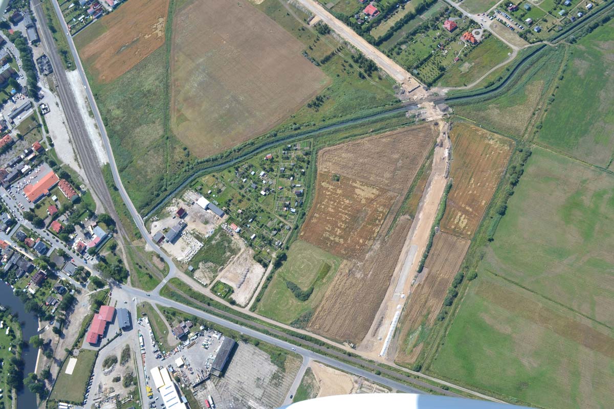
| Threats | The site exclusively pertains to private properties. One part of the site is occupied by the farm, the other by allotment gardens. The area is flat but very low above the sea level (3-5 m), therefore with high-water it might be flooded. In general, the change of water level got an impact on the conditions of archaeological relics (including medieval bricks). The area is attractive for investments due to the currently building of a bypass nearby. |
| Hazard assessment | Land use/cover change |