Soil erosion is a natural phenomenon of soil loss mainly due to water runoff and wind. The process can be accelerated and intensified by climate change and some human activities, such as intensive agricultural and pastoral activities, inefficient or inadequate irrigation systems, and deforestation.
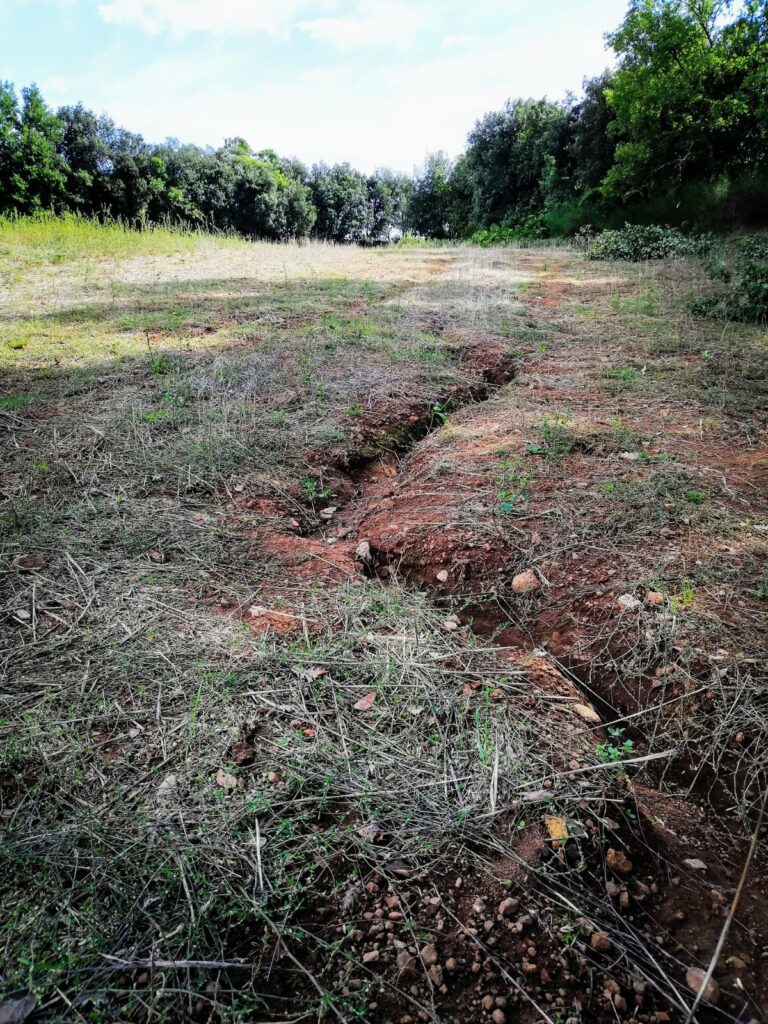
Soil erosion can impact on exposed archaeological features in different ways. The presence of rills near standing structures can excise the soil on which they are positioned, potentially exposing the buried part of them and nearby archaeological sections, thus producing loss of stratigraphy and favouring structure instability. Effects are even more urgent on archaeological deposits, meaning buried structures and stratigraphy, because when soil is eroded the effective soil thickness above them, which represents a protection, is reduced. Therefore, archaeological features and stratigraphy are more vulnerable to threats acting on soil, such as agricultural activities, especially ploughing, which increase soil erosion and can physically impact buried structures and stratigraphy, destroying archaeological contexts and dispersing material on the surface.
Currently, the soil erosion issue is classified at low scale by field investigation or at more large scale by using numerical and empirical erosion models. These models enable to predict the potential of soil erosion. In this regard, RESEARCH aims at exploiting a soil erosion remote sensing processing chain, by making use of existing soil erosion estimation models (such as RUSLE, SIMWE, USPED) in order to provide a soil erosion hazard assessment. The methodology is based on the estimation of soil loss and soil accumulation per unit area, by taking into account specific parameters such as rainfall factor, topography and land cover management, and using GIS technologies, high-resolution multispectral satellite/UAV images, and high-resolution Digital Terrain Model (DTM). To validate the results obtained from the soil erosion data processing chain, and to better quantify soil erosion and accumulation at the local scale, specific remote sensing tools, as mini-LIDAR on UAV, will be possibly applied in the case studies of Amathous, Falerii Novi, Almyriotiki, Sławno-Darłowo area. RESEARCH will design a risk assessment model for evaluating soil erosion potential impact on archaeological heritage, by combining hazard maps based on the output data of data processing chain with archaeological vulnerability maps based on archaeological records.
Data processing software and risk model development provides the opportunity for secondments among partners, even if the COVID-19 Pandemic, and the related travel restrictions enact to contain the spread of the virus, affected the regular implementation of secondments during 2020.
At this stage of Project activities (February 2021), a detailed report regarding the contribution and potential use of existing soil erosion estimation models has been produced, including the description of the data processing chains selected for soil erosion detection. Beside the RUSLE method, already included in the project proposal and GA, Partners identified other GIS-based methods (SIMWE/USPED) as further experimental methodological implementations for project’s objectives. A specific software tool useful for implementing the data processing chains related to these different methods of soil erosion estimation has been identified and tested during secondments. The data collection process for the application of these soil erosion estimation methods, and the implementation and testing of the data processing chains are ongoing.