
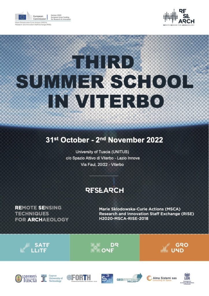
Viterbo, IT, 31st of October-2nd of November 2022 – UNITUS
The third Summer School organized in the frame of Project RESEARCH by the Università degli Studi della Tuscia (UNITUS) is concluded. The organizers and Project coordinator thank all the speakers and participants for the interesting lectures and discussion!
The Summer School started on the 31st of October with a late morning welcome and registration, followed by a common lunch to start socializing. The afternoon activities included two presentations by Stefano De Angeli, the one introducing the Project by drafting preliminary results and final objectives, the other illustrating the agenda of the Summer School. On the 1st of November, all the participants visited the Roman town of Falerii Novi, the Project case study in Italy. Archaeologists from Università della Tuscia guided the group through the history of the site, its archaeological remains and its vulnerabilities towards natural and anthropogenic threats. The third day was fully dedicated to in-door classes. The program included three sessions respectively dedicated to hazard maps, vulnerability maps, and the project GIS Platform and the archaeological database.
The speakers of the first session illustrated different procedures applied to assess and monitor soil erosion, land movement and land use. The second session consisted of one presentation concerning the methodology adopted to define and map the vulnerability of archaeological features to soil erosion. Finally, was time to talk about the GIS Platform designed and created within the Project. One of the presentations related to the description and management of the Platform from a technical point of view, and the other illustrated and example of data entry.
Program
Monday – 31 October 2022
12:00 – 13:00
Summer School Registration
13:00
Lunch
17:30 – 18:00
The RESEARCH Project – Preliminary results and final objectives
Stefano De Angeli (UNITUS)
18:00 – 18:15
Coffee break
18:15 – 18:45
Introduction to the Summer School and the Intermediate Conference
Stefano De Angeli (UNITUS)
Tuesday – 1 November 2022
09:30 – 12:00
Visit the archaeological site of Falerii Novi: the Roman Town and the Church of Santa Maria in Falleri
Stefano De Angeli, Fabiana Battistin (UNITUS)
12:00 – 14:00
Lunch
Wednesday – 2 November 2022
Session 1: Hazard Maps
10:00 – 10:45
Field observations for assessment of soil erosion processes and its impact on pottery sherds dispersions on archaeological sites in Cisowo and Dzierżęcin (Poland)
Sławomir Królewicz, Lidka Żuk, Adam Młynarczyk, Filip Wałdoch, Włodzimierz Rączkowski (AMU)
10:45 – 11:30
Land deformation analysis through SAR data and Persistent Scatter Interferometry (PSI)
Christos Kontopoulos, Eirini Marinou (GSH)
11:30 – 11:45
Coffee break
11:45 – 12:30
Basic training on supervised classification of satellite images using free software
Konstantinos Fokeas (UNITUS)
13:00 – 14:30
Lunch
Session 2: Vulnerability Maps
15:15 – 16:00
An open-source approach for the Vulnerability Assessment of Archaeological Deposits using GPR data in QGIS environment
Fabiana Battistin, Stefano De Angeli, Matteo Serpetti (UNITUS)
16:00 – 16:15
Coffee break
Session 3: The GIS Platform
16:15 – 17:00
Description and management of the RESEARCH GIS Platform
Andrea Di Iorio, Luca Sasso d’Elia (ALMA)
17:00 – 17:45
The RESEARCH Platform. An example of data entry from investigations to archaeological data
Stefano De Angeli (UNITUS)
17:45-18:15
Discussion
18:15-18:30
Conclusion
FIRST SUMMER SCHOOL
Limassol, CY, May 2019 – CUT
SECOND SUMMER SCHOOL
Rethymno, GR, Sept. 2020 – FORTH
FOURTH SUMMER SCHOOL
Nicosia, CY, October 2023 – S3