| Site name | Dzierżęcin, site 9 |
| GPS Coordinates | 54°28’17.43” N 16°32’36.44” E Coordinate System: WGS 84 Zone: 33N |
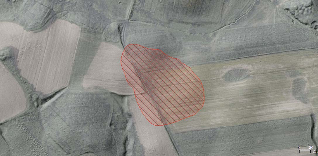
| Extension | 3 ha |
| Site description | The site was discovered during field-walking project in 1984. According to finds on the surface, the site can be described as settlement dated to the Early Iron Age period, the Early Roman Iron Age, and the Late Medieval period. Some other finds dated to the Neolithic (flint) and Middle Age. |
| Threats | The site is mostly on private property, occupied by fields. The other part of the site is covered by forest (which belongs to the State). The topography is characterized by the presence of hillocks, with a steepness up to 4%. The fields are arranged with different orientation, according to hillocks and slopes. Soil erosion is the main threat in the area, also because of the clayish and sandy soils characterizing the site. |
| Hazard assessment | Soil erosion Land use/cover change |