| Site name |
Vaitsi Mill |
| GPS Coordinates |
39°14’0.1536″ N,
22°43’44.1048″ E
Coordinate System: WGS 84
Zone: 34N |
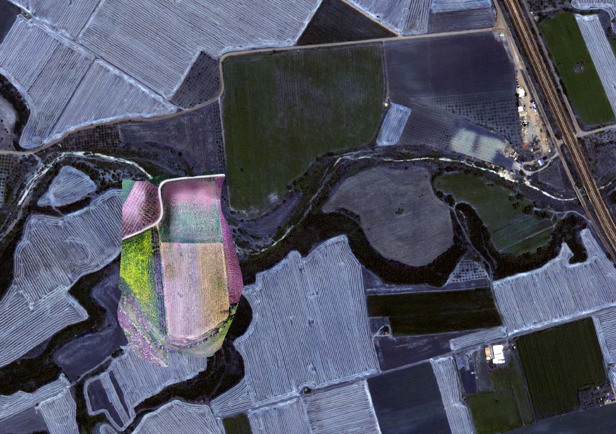
| Extension |
2ha |
| Site description |
The site was discovered during a past field-walking archaeological survey.
According to surface finds, the tell (magoula) exhibits habitation that covers the EN, MN, LN, EBA and MBA period. |
| Threats |
The variable land use practices of the site impose different types of risk. Parts of the site are cultivated; a section is filled with trees and the rest is located to a relative abrupt slope in the vicinity of a stream. |
| Hazard assessment |
Land use change
Soil erosion |