| Site description |
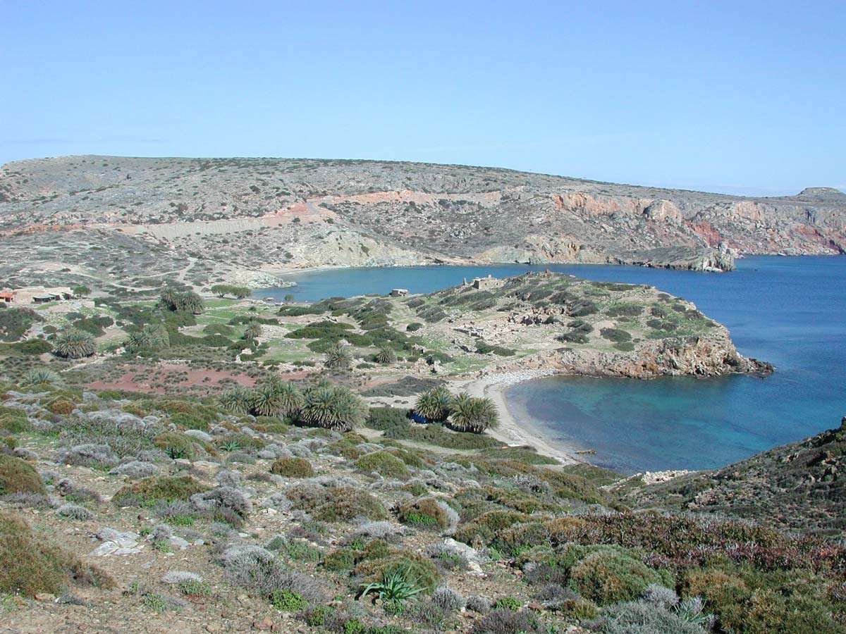
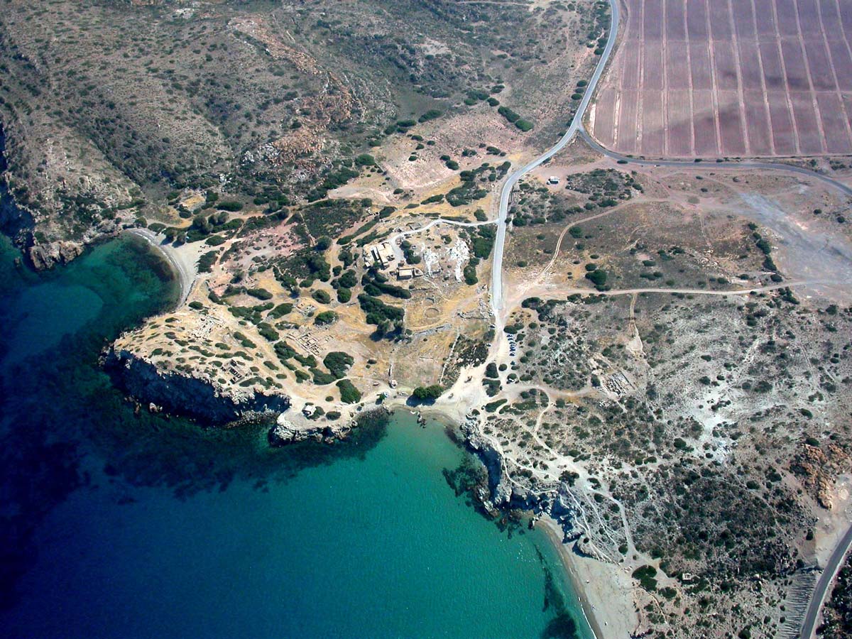
The site has been the focus of intensive excavations in the past, which have shown habitation during the LM 1A and 1B, the Dark Ages/Protogeometric, Geometric, Archaic, Hellenistic, Roman and 1st Byzantine periods. During the period of 1996-2001, the site has been also the target of geophysical prospection techniques. A tower, basilicas, part of the cemetery and the fortification walls have been excavated or they are exposed. The ancient port (a depression reaching about 40m depth) seems to have been completely covered by alluvium deposits. |