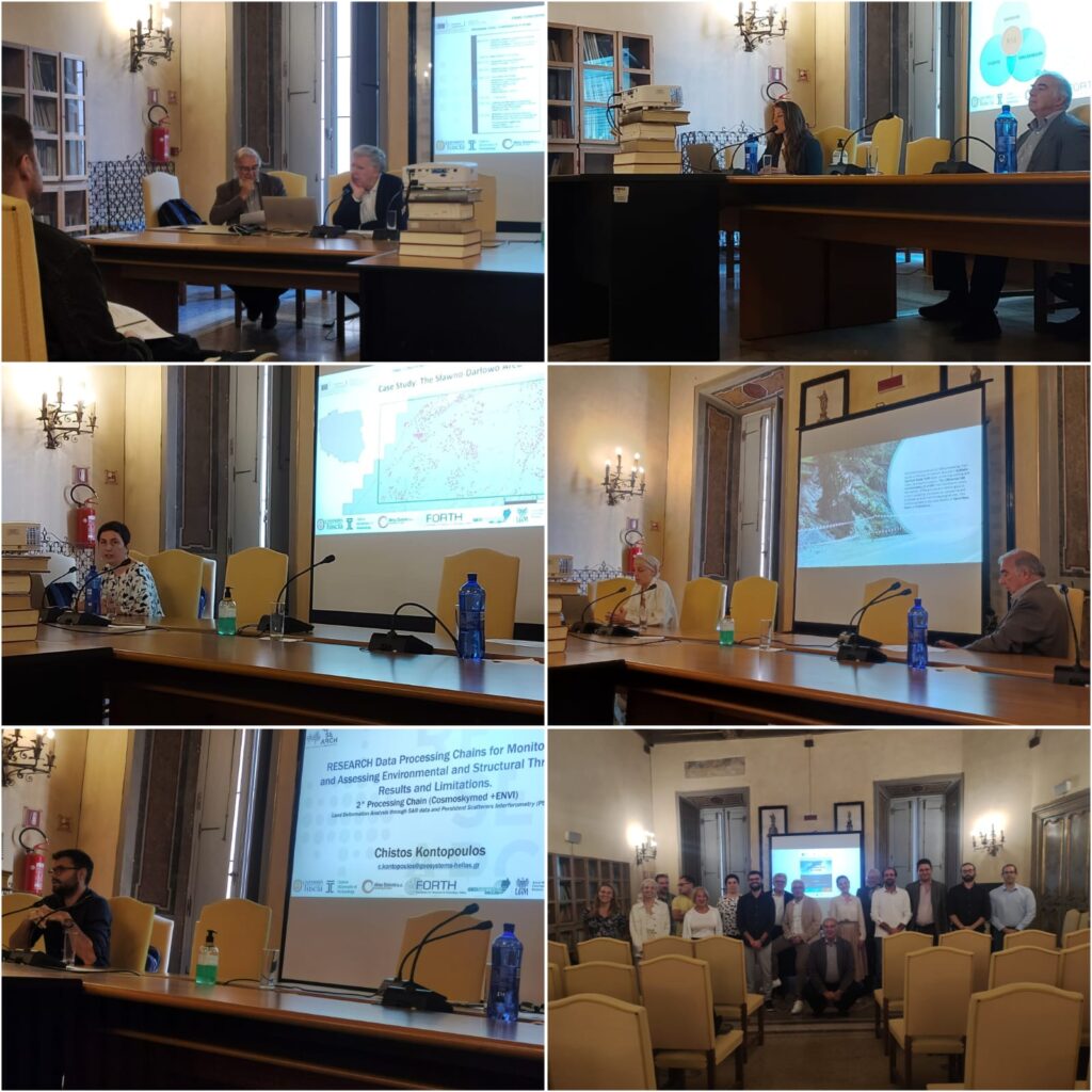
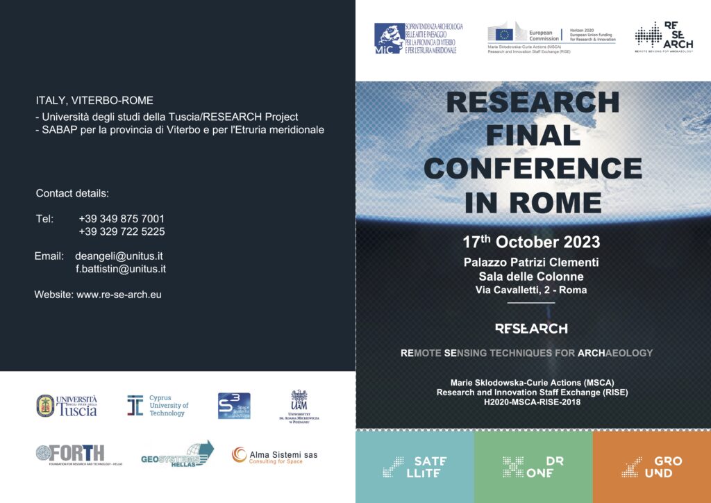
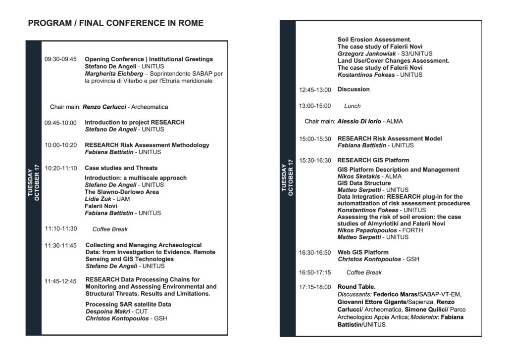
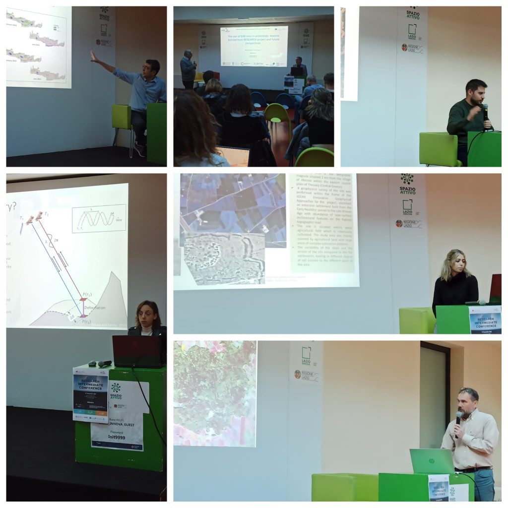
The Intermediate Conference organized in the frame of Project RESEARCH by the Università degli Studi della Tuscia (UNITUS) is concluded. The organizers and Project coordinator thank all the speakers and participants for the interesting presentation and discussion!
For further details please visit the dedicated page.
The appointment with the Final Conference of the RESEARCH Project is in October 2023 in Rome (Italy).
The third Summer School organized in the frame of Project RESEARCH by the Università degli Studi della Tuscia (UNITUS) is concluded. The organizers and Project coordinator thank all the speakers and participants for the interesting lectures and discussion!
For further details please visit the dedicated page.
The next and last appointment with the RESEARCH Project Summer School is September 2023 in Limassol (Cyprus).
Project RESEARCH intermediate Conference is organized by UNITUS and will be held in Viterbo on the 3rd of November 2022. The program includes presentations about the vulnerability of archaeological heritage, hazard and risk assessment, the GIS platform built by the Project and the related archaeological database. Preliminary Project results will be illustrated by Project participants. The conference will be also an opportunity to discuss further Project developments.
If you are interested in online participation, please contact one of the organizers via e-mail (Stefano De Angeli: deangeli@unitus.it; Fabiana Battistin: fabiana.battistin@hotmail.it).
The Third Summer School of RESEARCH project will be held in Viterbo (Italy) from the 31st of October to the 2nd of November 2022.
The Summer School is organized by UNITUS, and it is designed to train young scholars and researchers, promote collaboration, bring closely the various techniques of RS for archaeological site mapping, exchange knowledge between the different fields of remote sensing and cultivate a dynamic dialogue between academia and the private sector.
Please register by contacting one of the organizers (e-mail address on the program sheet). Please, also state your preference for physical or online participation.
The Third Summer School of Project RESEARCH is organized by Università degli Studi della Tuscia (UNITUS) and will be held in Viterbo (Italy) from the 31st of October to the 2nd of November 2022. The program and information to participate will be published soon on this website.
The Intermediate Conference of Project RESEARCH will be held in Viterbo (Italy) on the 3rd of November 2022. The program will be published in the next few days on this website.
We are very proud to announce that the paper “A Newly Developed Tool for the Post-Processing of GPR Time-Slices in A GIS Environment” has been published in the Special Issue of Remote Sensing “Advances in Ground-Penetrating Radar for Archaeology” edited by Lieven Verdonck, Neil Linford, and Immo Trinks.
Falerii Novi, map of the buried theatre from GPR data processing (De Angeli et al 2022 fig. 6a)
Please cite the paper as:
De Angeli, Stefano, Matteo Serpetti, and Fabiana Battistin. 2022. “A Newly Developed Tool for the Post-Processing of GPR Time-Slices in A GIS Environment” Remote Sensing 14, no. 14: 3459. https://doi.org/10.3390/rs14143459.
On March 11-13, 2022, the AMU RESEARCH team returned to Cisowo and Dzierżęcin to continue their survey research from last year. While in 2021 the survey had been conducted in extreme weather conditions, this time the weather was fine. The AMU team (Włodzimierz Rączkowski, Lidia Żuk, Filip Wałdoch) brought us – the lucky first-year students: Aleksandra Froehlich, Jan Czeski, Paweł Dmitrijew – with them to demonstrate to us what “surface research” actually is, and what tools we can use in our field-work. They were a far cry from conventional digging tools, and the most powerful of them was the knowledge and understanding of the role nature and erosion play in forming archaeological sites (Fig. 1).
Figure 1. Well-visible erosion in Dzierżęcin.
The survey was carried out without any major difficulties, with the exception of a wind turbine engine replacement on site, which turned out to be an absorbing spectacle indeed (Fig. 2). At one point, due to safety reasons, we were even asked to move further away from the wind turbine. Needless to say, we were quivering from excitement. This perilous situation did not last long and soon we were able to return to work. The wind turbine engineers’ bravery did earn our respect, as evidenced in the photo (Fig. 2). We all wished we could climb up the turbine and conduct our research (and admire the landscape) from such an impressive height, certainly avoiding being blown off by the wind. Overall, we preferred not to contemplate such a possibility.
Figure 2. Cranes in Cisowo.
Our survey consisted of two parts and covered the same Cisowo and Dzierżęcin fields as last year. The first part corresponded to what had been done previously. Using the RTK GPS we recorded and measured every visible artefact on the ground and marked it with a different color than last year. Interestingly, we found no artefacts with the earlier red markings. This was actually really disappointing… Was it an effect of ploughing or poor paint quality? Since a big part of the area was covered with rapeseed plants (Fig. 3), which somewhat hampered our survey, all of us novices could at least comfort ourselves by blaming the cultivars for our failure.
Figure 3. Cisowo field covered with rapeseed plants (left).
The second part of our survey was quite different from any archaeological enterprise we had heard of. Two smaller parts of surveyed areas were marked out: one in Cisowo and one in Dzierżęcin. The areas with the highest density of artefacts were chosen according to last year’s survey. Before the commencement of our survey Sławomir Królewicz and Adam Młynarczyk ‘aerially’ photographed the artefacts from a height of 1.5 m (!) (Fig. 4) to obtain an orthophoto map with a resolution of 1 millimeter. Unfortunately, due to a high wind, they could not take full advantage of their drone equipped with different cameras. Next, we examined these areas very carefully, being cautious not to move any artefact from its original position on the ground. When we found such an object we recorded its position using the GPS. The plan was to teach the computer program to find those artefacts, relying only on the previously taken photographs of the area. Although hesitant at first, we understood that, if effective, the use of such methodology would spare our legs some strain. However, until we see the final research results, walking – a traditional part of archaeological research – will continue to be more convincing to us.
Figure 4. ‘Aerial’ photography: flying at a 1.5 m ceiling.
Our plan is to return to Cisowo and Dzierżęcin for the second time, before completing the comprehensive analysis of survey results. We still hope that they will allow us to fully address the question of how erosion and cultivation influence the dispersion of artefacts.
On the 16th of June RESEARCH participated in the conference CAA2021 (https://2021.caaconference.org) , presenting the paper “An open-source approach for the vulnerability assessment of archaeological deposits using grr data in QGIS environment”.
RESEARCH thanks the CAA for great organization of the event and the opportunity.
We are very proud to announce that the paper “Land Movements Estimation in Amathus Archaeological Site in Limassol District with In- SAR DIn-SAR Methodologies”, presented at the EUROMED 2020 conference (Cyprus 2nd-5th November 2020) has been published as part of the conference proceedings volume.
Please cite the paper as:
Makri D., Agapiou A., Hadjimitsis D., Papoutsa C. (2021) Land Movements Estimation in Amathus Archaeological Site in Limassol District with In- SAR DIn-SAR Methodologies. In: Ioannides M., Fink E., Cantoni L., Champion E. (eds) Digital Heritage. Progress in Cultural Heritage: Documentation, Preservation, and Protection. EuroMed 2020. Lecture Notes in Computer Science, vol 12642. Springer, Cham. https://doi.org/10.1007/978-3-030-73043-7_47