Project presentation

European heritage boasts a great variety of natural and cultural resources, including landscapes, archaeological sites, historical buildings, traditions, and folkloristic events. This cultural heritage (CH) is nowadays at risk, endangered by different kinds of environmental pressures causing physical degradation and destruction of ecofacts and historical contexts and monuments. The effects of the interaction between standing and buried ancient features and natural elements, i.e. atmosphere and soil, are today exacerbated by other factors, such as human pressures and, most recently and for the future, by climate change.

RESEARCH (REmote Sensing techniques for ARCHaeology) aims at testing risk assessment methodology using an integrated system of documentation and research in the fields of archaeology and environmental studies. It will introduce a strategy and select most efficient tools for risk assessment and harmonization of data, criteria, and indicators, to be used to assess and monitor the impact of environmental changes on tangible cultural heritage assets. The project addresses the design and development of a multi-task thematic platform, combining advanced remote sensing technologies with GIS application for mapping and long-term monitoring of archaeological heritage in order to identify changes due to environmental factors, climate change, and anthropic pressures.

The broad spectra of Satellite Earth Observations (EO) provide the ideal platform to undertake a wide range of effective, cost-efficient and up-to-date programmable analysis and monitoring of archaeological sites, as a support to the remote sensing technology today applied in archaeology. This valuable information will be complemented, calibrated and tested with ground-based data (e.g. geotechnical information, geophysics, and field survey), site scale monitoring (e.g. ground monitoring stations, laser scanners etc.) and risk forecasting models (soil erosion, land use, land movement) to derive end-user driven products (e.g. hazard, vulnerability and risk maps).

The remote sensing data processing chains developed by the project will address some of the major risks affecting archaeological heritage, such as soil erosion, land movement, land use change and, as part of the latter, vegetation growth.

In order to carry out the demonstration and validation of the Platform, six case study sites have been selected:

  • Falerii Novi (Italy);
  • Amathùs (Cyprus);
  • Almyriotiki (Greece);
  • Itanos (Greece);
  • Vaitsi Mill (Greece);
  • Slawno-Darlowo area (Poland). In particular: Darlowo monastery, Cisovo, Dzierzecin.

RESEARCH will coordinate the existing expertise and research efforts of seven beneficiaries (go to consortium) into a synergetic plan of collaborations and exchanges of personnel to offer a comprehensive transfer of knowledge and training environment for the researchers in the specific area. The project aims at developing and maintaining a research group of institutes and companies for remote sensing in archaeological heritage monitoring and mapping. During project years, several training and networking activities will take place in different places (summer schools, joint collocations, project meetings, intermediate and final conferences). The mobility actions between Network Partners will be performed by secondment.

WORK PACKAGE


LAND MOVEMENTarrow

Land movement, also mass movement or mass wasting, indicates the downslope movement surface materials, such as soil, rock, or mud.
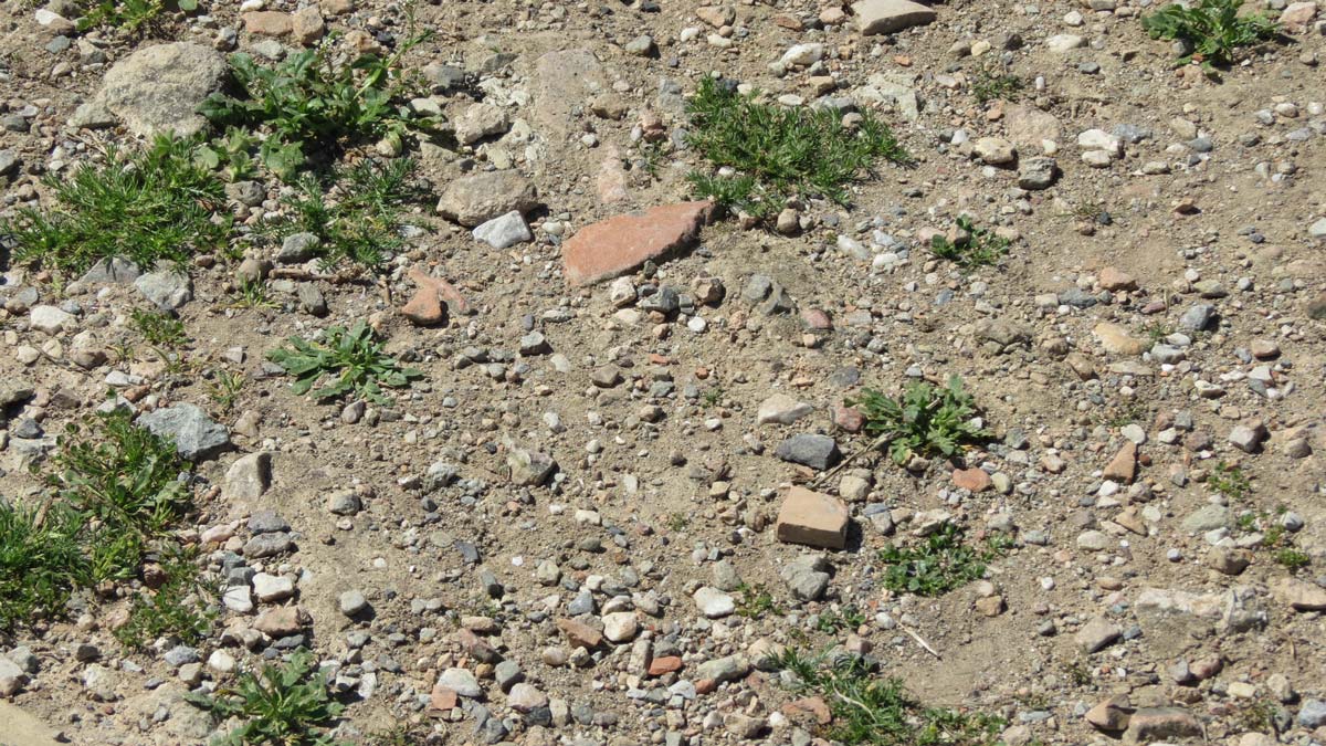

SOIL EROSIONarrow

Soil erosion is a natural phenomenon of soil loss manly due to water runoff and wind.


LAND USE CHANGEarrow

Coastal erosion, agricultural activities, urban sprawl, uncontrolled vegetation growth are only some of the factors provoking land use change.


THEMATIC PLATFORMarrow

RESEARCH project aims at the creation of a Thematic Platform including back-end and front-end (Web Portal) and external interfaces.


CASE STUDIESarrow

Falerii Novi (Italy); Amathous (Cyprus); Almyriotiki (Greece); Itanos (Greece); Vaitsi Mill (Greece); Slawno-Darlowo area (Poland) in particular: Darlowo monastery, Cisowo, Dzierzecin.


Risk Assessment

Risk can be technically defined as the product of three factors: hazard, exposure and vulnerability.

Read more arrow

Climate Change and Archaeology

Climate change is one of the most important and urgent problem facing us today, with implications for natural and societal systems including landscape and cultural heritage preservation.

Read more arrow

REMOTE SENSING FOR ARCHAEOLOGY

The increase availability of spaceborne sensors that can provide systematic optical and radar satellite images allows researchers to carried out landscape studies in wider scales.

Read more arrow

Aerial photography became a fundamental tool in Archaeology, because it allows a wide and detailed observation of a territory, and the visibility of features that cannot be perceived and identify from the ground.

Read more arrow

Ground-based remote sensing techniques allow a non-invasive and non-destructive survey of objects, even on a large scale.

Read more arrow